.jpg)
Restoration Spotlight: A View From Above
- Arundel Rivers Federation

- Sep 25, 2025
- 1 min read
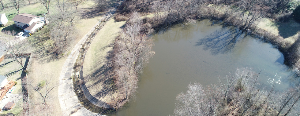
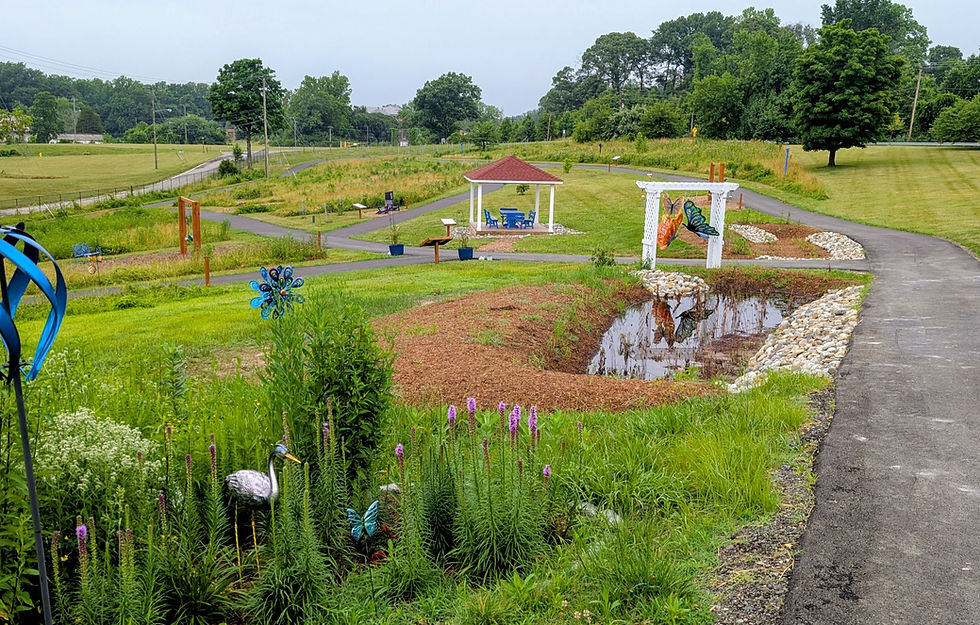
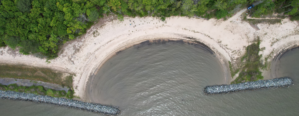
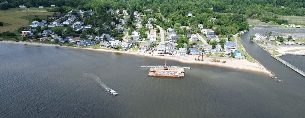
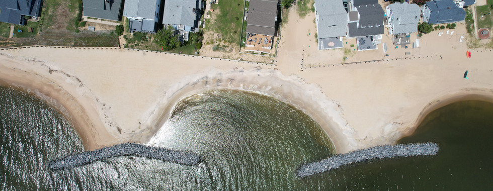
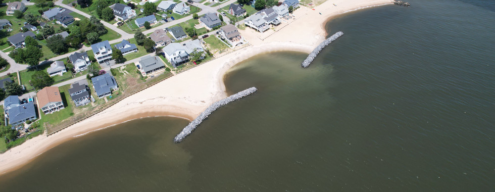
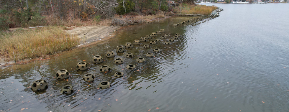
At Arundel Rivers Federation, our work doesn't stop when a restoration project is complete, we keep monitoring each site for five years or more to ensure lasting success. One of our favorite ways to track progress is from above. Our Watershed Analyst, Mallory Box, is not only a data expert but also a licensed drone pilot, giving us incredible bird's-eye views of restoration in action.
You'll notice, most of these aerial shots feature shoreline projects. That's because when we restore a degraded stream, our contractors preserve as much of the tree canopy as possible, great for the forest, but tricky to spot the project from the sky.
So, take a moment to scroll through these drone images to see what restoration looks like from above, and click the project page to learn more about each of these sites.
Franklin Point State Park- Shady Side, MD


Hillsmere Shores Marina


Neeld Estates-Huntingtown, MD


Turnbull Estates-Edgewater, MD


Lake Marion-Severn, MD